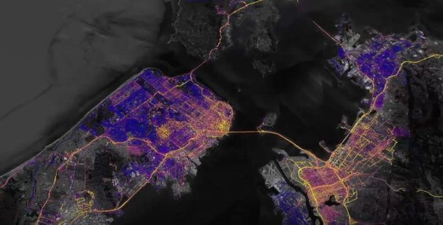
Google Earth 整合空氣品質數據,加州空污狀況一目瞭然 作者 陳 冠榮 | 發布日期 2017 年 11 月 09 日 8:15 | 分類 Google , 會員專區 , 環境科學 | edit Loading... Now Translating... 本篇文章將帶你了解 :Google Earth 整合空氣品質數據,加州空污狀況一目瞭然自 2015 年開始,Google 與 Aclima 合作收集空污數值;近日更將加州地區的研究成果整合進 Google Earth 繪成熱區圖,期望協助科學家與政府機構制定空氣污染的改善方案。 本篇文章將帶你了解 :Google Earth 整合空氣品質數據,加州空污狀況一目瞭然 文章看完覺得有幫助,何不給我們一個鼓勵 請我們喝杯咖啡 想請我們喝幾杯咖啡? 每杯咖啡 65 元 x 1 x 3 x 5 x 您的咖啡贊助將是讓我們持續走下去的動力 總金額共新臺幣 0 元 《關於請喝咖啡的 Q & A》 留給我們的話 取消 確認 從這裡可透過《Google 新聞》追蹤 TechNews 科技新知,時時更新 科技新報粉絲團 加入好友 訂閱免費電子報 關鍵字: Aclima , Alphabet , COP23 , Google , Google Earth , Google 街景車 , 空氣污染 , 空污